Mapnificent Finds Where You Can Travel

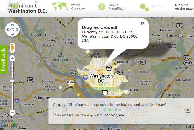
Mapnificent is a new site using Google Maps that finds out where you can get to in a certain amount of time. It accounts for you using public transportation and you can tell it in the settings that you have a bike. It’s great for exploring restaurants near you, but in a direction that you never bothered to look.
Swine Flu on Google Maps

There is now a Swine Flu Google Map at http://swinemap.org. Black indicates confirmed deaths from H1N1. Grey are unconfirmed deaths. Red are confirmed infections. Pink are probable infections. Blue are influenza-like illnesses. As of this writing, North Dakota looks like a good place to set up your post-apocalyptic compound while you develop an anti-swine flu serum.


View 2009 H1N1 Flu Outbreak Map in a larger map

Follow CDC recommendations and thoroughly gargle after kissing any pigs that have not yet been tested. Ok, their real information is at:
http://www.cdc.gov/swineflu/

UPDATE: This post has been updated with a new Google Map that has more information.